Dataja:Armenia location map.svg

Größe der PNG-Vorschau dieser SVG-Datei: 585 × 600 pikselow. Druge rozeznaśa: 234 × 240 pikselow | 468 × 480 pikselow | 749 × 768 pikselow | 999 × 1.024 pikselow | 1.998 × 2.048 pikselow | 1.169 × 1.198 pikselow.
Originalna dataja (dataja SVG, nominalnje: 1.169 × 1.198 piksele, wjelikosć dataje: 77 kB)

|
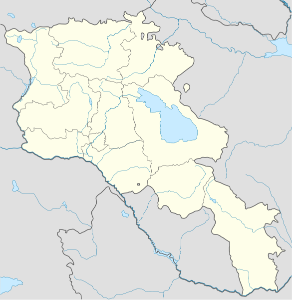
Die Grenzen in dieser Karte zeigen den De-facto-Zustand. Dies ist nur eine von mehreren verschiedenen Ansichten zu diesem Thema (siehe COM:NPOV). |
Zespominanje
| wopis |
Deutsch: Positionskarte von Armenien. Quadratische Plattkarte, N-S-Streckung 130 %. Geographische Begrenzung der Karte:
English: Location map of Armenia. Equirectangular projection, N/S stretching 130 %. Geographic limits of the map:
Français : Carte administrative muette de l'Arménie. Projection cylindrique équidistante, avec étirement nord-sud de 130%.
|
||
| Datum | |||
| Žrědło |
Swójske źěło, using
|
||
| Awtor | NordNordWest | ||
| Druge wersije toś teje dataje | Abgeleitete Werke dieser Datei: Am-map he.svg | ||
| SVG‑Erstellung | |||
| Graphic Lab |
|

Licencěrowanje
Ja, awtor tutoho dźěła, wozjewjam je z tym pod slědowacej licencu:
Toś ta dataja jo pód licencu Creative Commons Attribution-Share Alike 3.0 Unported licencěrowana
- Smějoš:
- gromaźe wužywaś – źěło kopěrowaś, rozšyriś a dalej daś
- změšaś – aby źěło pśiměrił
- Pód slědujucymi wuměnjenjami:
- pśipokazanje – Musyš źěło pó wašni pśipokazaś, kótaruž awtor abo licencowaŕ jo pódał (ale nic pó wašni, až by se gódało, až wón tebje abo twójo wužywanje źěła schwalijo).
- źěliś – Jolic měnjaš, pśetworjaš toś to źěło abo na njo natwarjaš, móžoš gótowe źěło jano pód teju sameju licencu ako toś ta rozšyriś.
Stawizny dataje
Tłoc na datum/cas aby tencasna wersija se lodowała.
| datum/cas | Pśeglědowy wobraz | rozměry | Wužywaŕ | Komentar | |
|---|---|---|---|---|---|
| něntejšny | 23. januara 2022, 01:01 | | 1.169x1.198 (77 kB) | Geralt Riv | fix the svg error |
| 19. nowembra 2021, 07:45 |  | 1.169x1.198 (209 kB) | A2D2 | The de facto border changed after the Second Nagorno-Karabakh War in 2020. | |
| 3. měrca 2014, 16:38 |  | 1.169x1.198 (154 kB) | NordNordWest | Reverted to version as of 17:18, 18 January 2014; please find your way to the discussion page first before reverting anything | |
| 3. měrca 2014, 12:18 |  | 1.169x1.198 (209 kB) | A2D2 | Reverted to version as of 19:55, 5 April 2012 | |
| 18. januara 2014, 19:18 |  | 1.169x1.198 (154 kB) | NordNordWest | + de facto border | |
| 5. apryla 2012, 21:55 |  | 1.169x1.198 (209 kB) | Sémhur | ...with the former size | |
| 5. apryla 2012, 21:47 |  | 1.000x1.024 (208 kB) | Sémhur | Adding few rivers : Dzoraget, Aghstafa, Azat, Vedi and Megri | |
| 15. januara 2011, 13:52 |  | 1.169x1.198 (271 kB) | NordNordWest | according to http://commons.wikimedia.org/w/index.php?title=User_talk%3AVarmin&action=historysubmit&diff=48288330&oldid=40674250 | |
| 14. januara 2011, 19:54 |  | 1.160x1.190 (286 kB) | Varmin | concordance avec les autres cartes vectorisée. | |
| 28. awgusta 2010, 18:58 |  | 1.169x1.198 (271 kB) | NordNordWest | Barxudarlı, Yuxarı Əskipara and Karki stay officially non-Armenian (see en:List of enclaves and exclaves), no changes without discussion |
Datajowe wužywanje
Žedne boki njewótkazuju na toś tu dataju.
Globalne wužywanje datajow
Slědujuce druge wikije wužywaju toś ten wobraz:
- Wužywanje na av.wikipedia.org
- Wužywanje na az.wikisource.org
- Wužywanje na ba.wikipedia.org
- Wužywanje na bn.wikipedia.org
- Wužywanje na bs.wikipedia.org
- Wužywanje na ckb.wikipedia.org
- Wužywanje na de.wikipedia.org
- Wužywanje na de.wikivoyage.org
- Wužywanje na en.wikipedia.org
- Wužywanje na eo.wikipedia.org
- Wužywanje na es.wikipedia.org
- Wužywanje na fa.wikipedia.org
- Wužywanje na fr.wikipedia.org
- Matenadaran
- Stade Hrazdan
- Galerie nationale d'Arménie
- Stade Républicain Vazgen-Sargsian
- Stade Mika
- Stade Alashkert
- Stade Kasakhi Marzik
- Mère Arménie
- Université d'État d'ingénierie d'Arménie
- Projet:Cartographie/Cartes standards/Pays
- Mausolée d'Aghdsk
- Musée d'histoire de l'Arménie
- Erablur
- Université française en Arménie
- Wikipédia:Atelier graphique/Cartes/Archives/avril 2012
- Cimetière de Noradouz
- Musée Erebouni
- Université américaine d'Arménie
- Cinéma Moscou
- Temple de Garni
- Maison-musée Vazgen-Sargsian
- Module:Carte/données/arménie
- Musée historique de Sisian
- Stade Urartu
- Stade de l'Académie de football d'Erevan
- Wužywanje na gv.wikipedia.org
- Wužywanje na hy.wikipedia.org
- Wužywanje na incubator.wikimedia.org
Dalšne globalne wužywanje toś teje dataje pokazaś.